Markup - Text
Markup label properties
| Text Toolbar |
Classic text toolbar: Choose the desired font and text size. Select required attributes, like bold, italic or underline.
| ||||||||||||||||||||||||||||||
| Text |
Text of label. Following macros are supported:
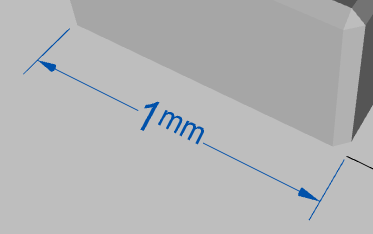
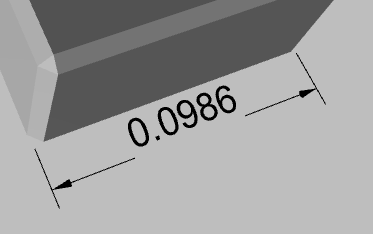
All linear dimensions are displayed using scene and display units. See in File Information panel. Use | character with rectangular shape in order to create vertical lines in rectange. |
||||||||||||||||||||||||||||||
| Shape | Shape and color of background geometry. For instance, it may be rectangle, circle or something else. | ||||||||||||||||||||||||||||||
| Symbol |
|
||||||||||||||||||||||||||||||
| Browse for symbol file. At the same time you may drop symbol file or image to markup in 3d window. | |||||||||||||||||||||||||||||||
| Symbol Size | Symbol scaling factor | ||||||||||||||||||||||||||||||
| Symbol Margin | Additional margin around symbol | ||||||||||||||||||||||||||||||
| Symbol Angle | Rotation of symbol | ||||||||||||||||||||||||||||||
Controls in yellow color are available if symbol is used.
Examples
 |
 |
 |
 |
Symbols
- Symbols provided with FinalMesh
- Flat 3d file. Actually any 3d file will work but only flat files makes sense.
- Any image
